A two-day trek from Brescia to Lake Iseo through panoramic hill scenery.
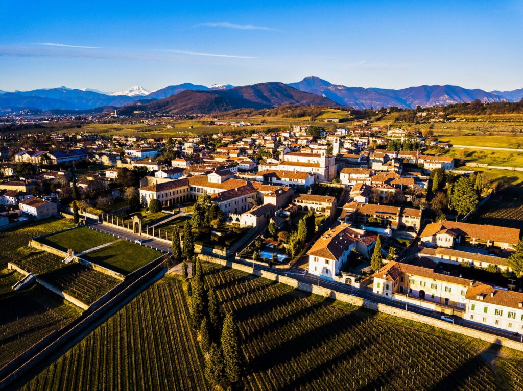
STAGE ONE BRESCIA – RODENGO SAIANO
| Suitable for | Adults |
| Time | 6 hours |
| Length | 15,8km |
| Total altitude gain/loss | +660m / -620m |
| Start | Brescia |
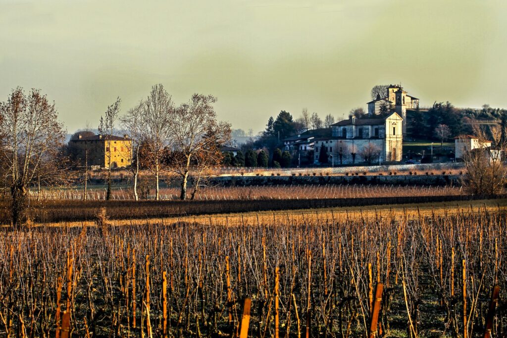
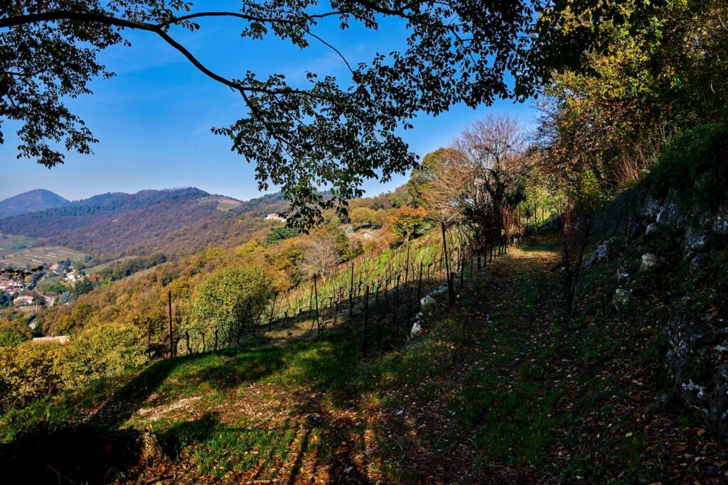
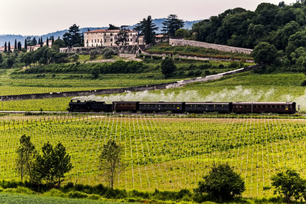
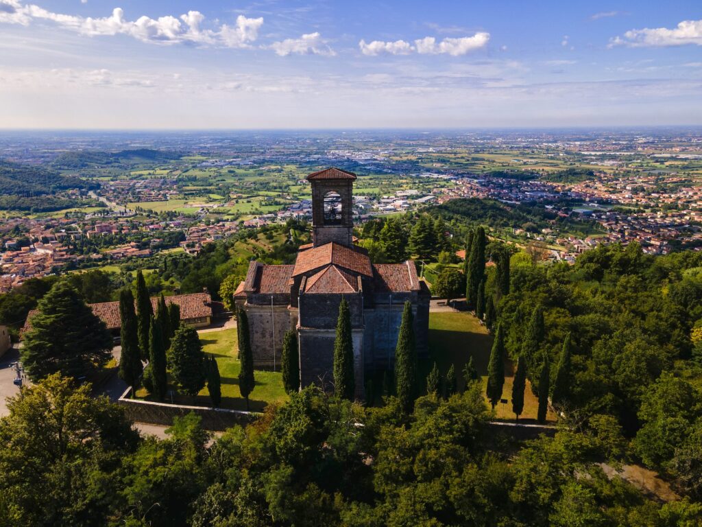
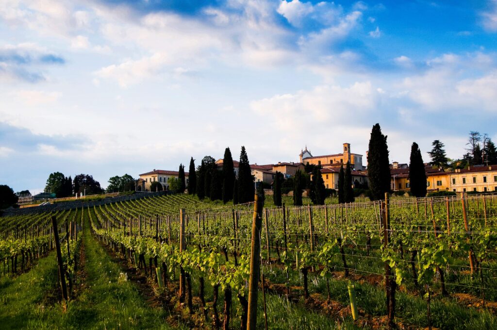
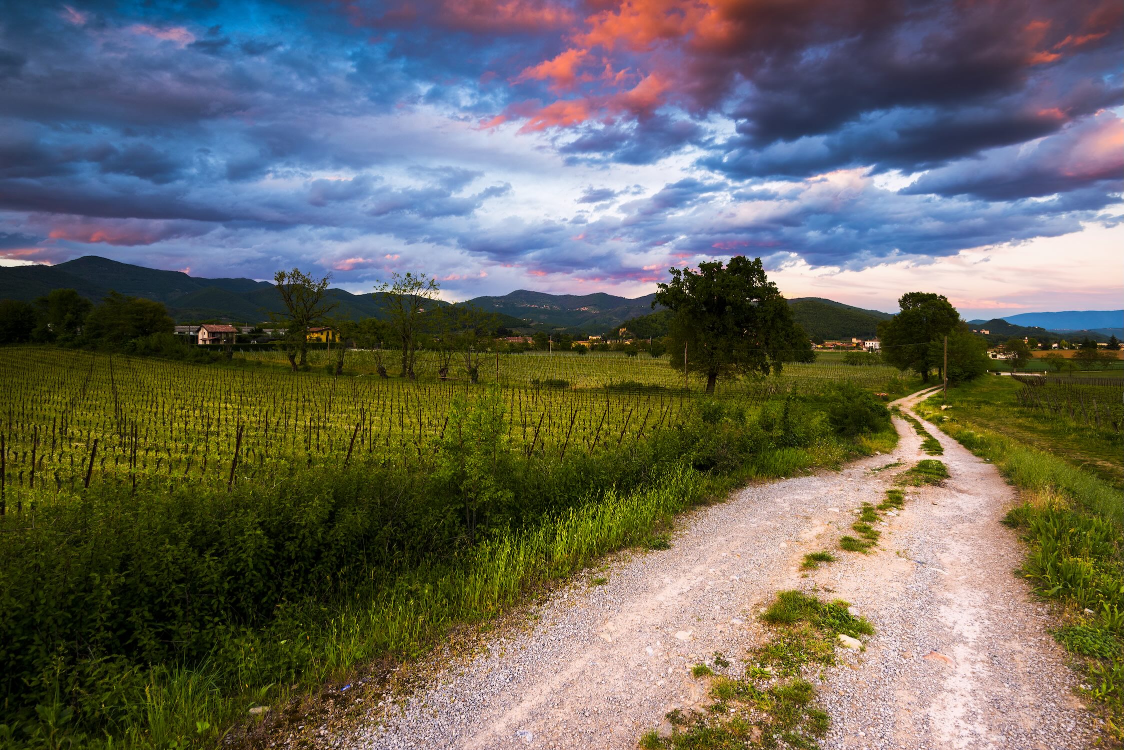
The itinerary starts near the Santellone near Villaggio Badia in the Brescia area. The route begins on a gentle hill road which soon passes an info point for the Colline di Brescia Park and rest area and continues along a clear even gravel track also signed with red and white waymarks for approx. 1.5 hours to Campiani. The route’s first vineyards are visible on this section, on the slopes of Colle di S. Anna. The track crosses the Brescia-Cellatica road and continues on a footpath which ends in Campiani. Here the views open up over the lower Trompia valley, on one side, and Franciacorta on the other. Turn off onto the Cellatico road on footpath 3V with blue and white waymarking, for Santuario Madonna della Stella (around 2.5 hrs from the start), an extremely panoramic spot. Cross the churchyard and go down the steps to the last station of the Via Crucis, downhill now following signs for Sentiero della Franciacorta (SF) with red and white waymarking, to the centre of Gussago village. At the parish church take Via Roma northwards, leaving behind the red and white waymarks halfway along. At a first roundabout pass under the Concesio-Ospitaletto road and, at the next roundabout, turn left passing signs for Sentiero delle due Tese a few metres later waymarked in red and white. After fording a stream the path reaches the Tesa di Sopra farmhouse in 1.5 hours. The meadows beyond the farmhouse afford extremely wide views over the Po plains and Franciacorta. Return to the gravel track and continue uphill for five minutes to a crossroads where you turn left in gentle descent to a building which the track skirts around and gives way to a steep footpath for a few metres to Chiesetta del Pianello with views of Monte Delma and Rodengo Saiano. The footpath then descends steeply alongside the church to an asphalt road and crosses the Gandovere stream and the gravel track linking Rodengo Saiano with Ome by way of Corneto on the street of the same name. After elegant Villa Fenaroli turn right between two high walls and continue along the gravel track which follows the base of Monte Delma along a single stone wall with a crossroads at the end. Continue along the gravel track, still skirting the mountain, to meet an asphalt road soon afterwards where you turn right onto the Calvario steps, around 25 minutes from Corneto now.
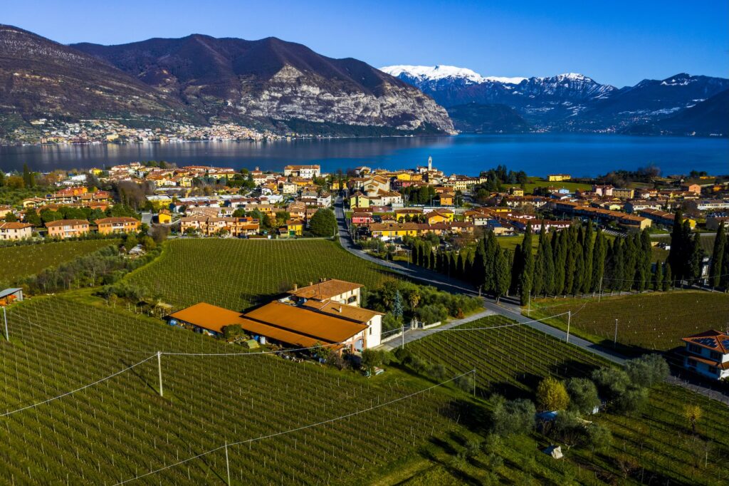
STAGE TWO RODENGO SAIANO – ISEO
| Suitable for | Adults |
| Time | 4 hours e 30 minutes |
| Length | 12,3km |
| Total altitude gain/loss | +550m / -555m |
| Start | Rodengo Saiano |
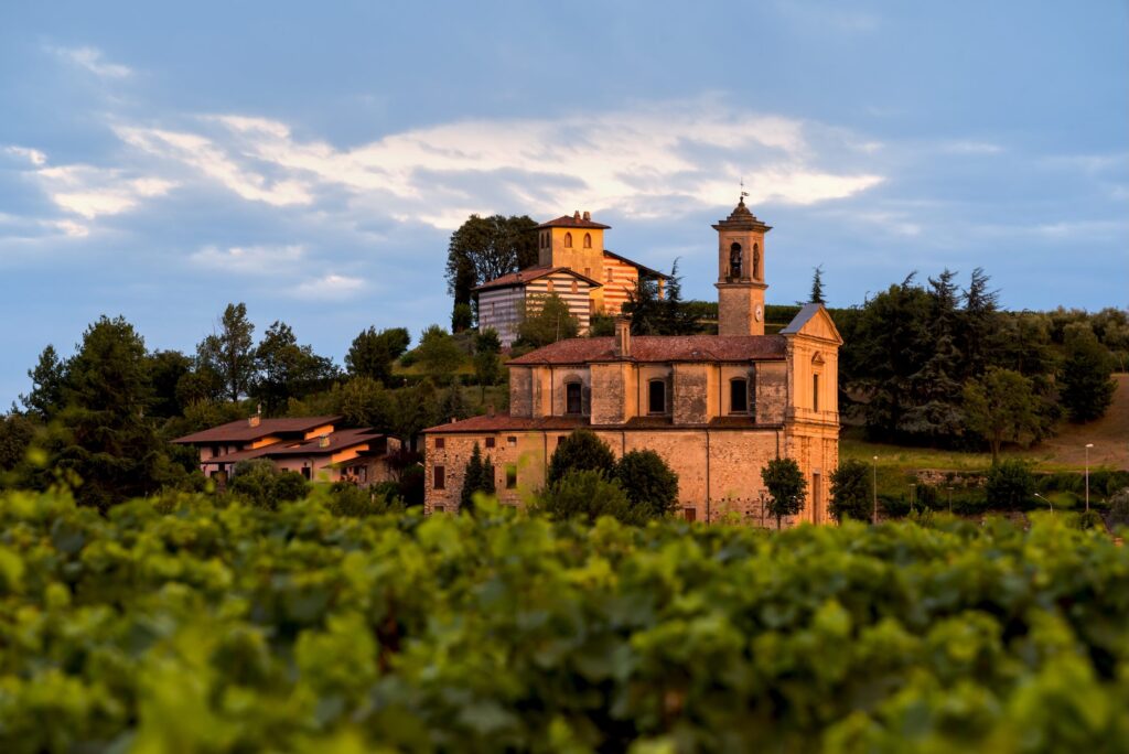
Continue the steps route in the direction of Convento del “Calvario” on the slopes of Monte Delma. On the asphalt now, continue to a lefthand bend and take the footpath into the forest signed in red and white to Cascina Berta to the peak of Monte Delma with its large vineyard. Follow the ridge in a westerly direction passing a great many hunting posts and continuing initially on a gravel track and then a footpath with red and white waymarking to Strada della Valle and Monte Valenzano until you have passed this latter. At a wide gravel bend at a small pass the path descends quickly to the left to an asphalt road where you continue in the direction of Camignone, which you get to in a few minutes, after passing underneath the Brescia-Valle Camonica road. After a traffic light with red and white waymarking take Via Chiesa and then Via Mazzini, passing through historic Contrada Barboglio. Continue along the road through vineyards to Fantecolo and Chiesa di S. Apollonio and Chiesetta degli Alpini. Here the route leaves the SF red and white waymarks behind and you turn right along the gravel road between the statue and the little church walking first through vineyards and then through woods. Approx. 15 minutes later you pass an old hunting hut on your right and continue to a small stone building under a high voltage electricity pylon where you start following MS waymarks for Provaglio d’Iseo. Pass through the village following the red and white signs and climb Via San Rocco. The asphalt road turns to cobbles and passes the ruins of a castle before climbing once again to one of the itinerary’s most attractive panoramas, from Santuario della Madonna del Corno. After the church the route continues along the gravel road waymarked in red and white which ends in Via Roma near a level crossing. Iseo town centre and its bus and train stations are just a few minutes away.